
Your cart is currently empty.
Continue shopping


N°13 Aneto-Posets
$10.91
-
+
Description
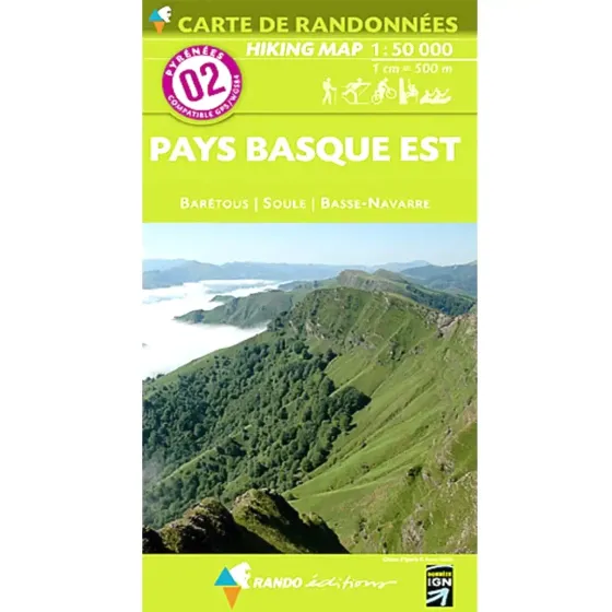
These maps follow the indications given by the French Institut Géographique National or by the Institut Cartografic de Catalunya. Very useful for trekking, mountain biking, horse riding, skiing, they also indicate mountain refuges, camp sites, best view points, places of cultural or sporting interest. Printed in five colours.
Map:
01-Pays Basque Ouest 1/50.000
02-Pays Basque Est 1/50.000
03-Béarn 1/50.000
04-Bigorre 1/50.000
05-Luchon 1/50.000
06-Couserans-Valier-Maubermé 1/50.000
07-Haute-Ariège 1/50.000
08-Cerdagne-Capcir 1/50.000
09-Le Sentier Cathare 1/50.000
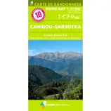
10-Canigou-Garrotxa 1/50.000
11-Collioures-Cadaques 1/50.000
12-Gavarnie-Ordesa 1/50.000
13-Aneto-Posets 1/50.000
20-Puigmal-Costabona 1/50.000
21-Andorra-Cadi 1/50.000
22-Pica d'Estats-Aneto 1/50.000
23-Anet-Posets 1/50.000
25-Anso-Hecho 1/50.000
Specifications
Map
You may also like

N°3 Béarn
$10.91
N°4 Bigorre
$10.91
N°5 Luchon
$10.91
N° 8 Cerdagne/Capcir
$10.91